From point clouds to actionable insights
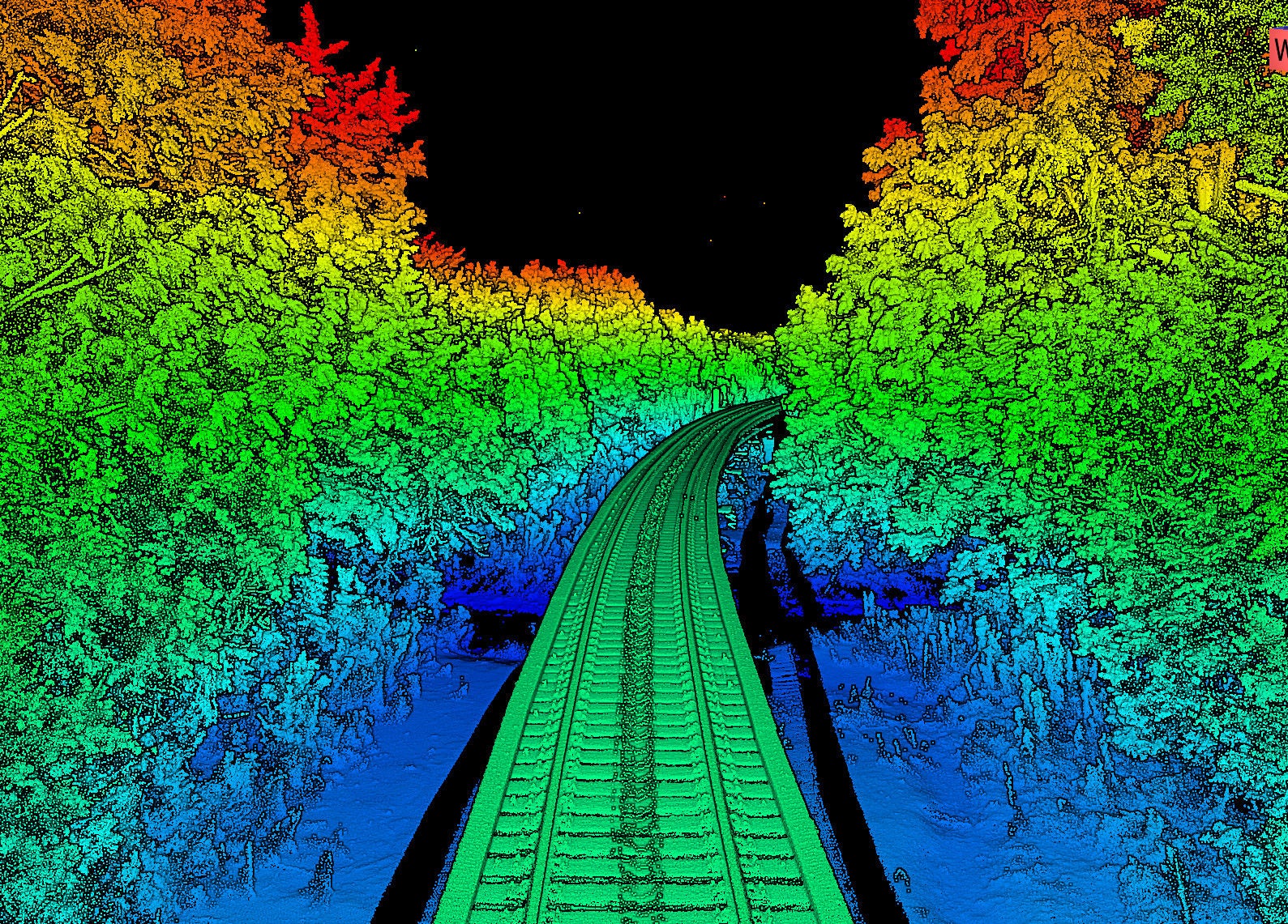
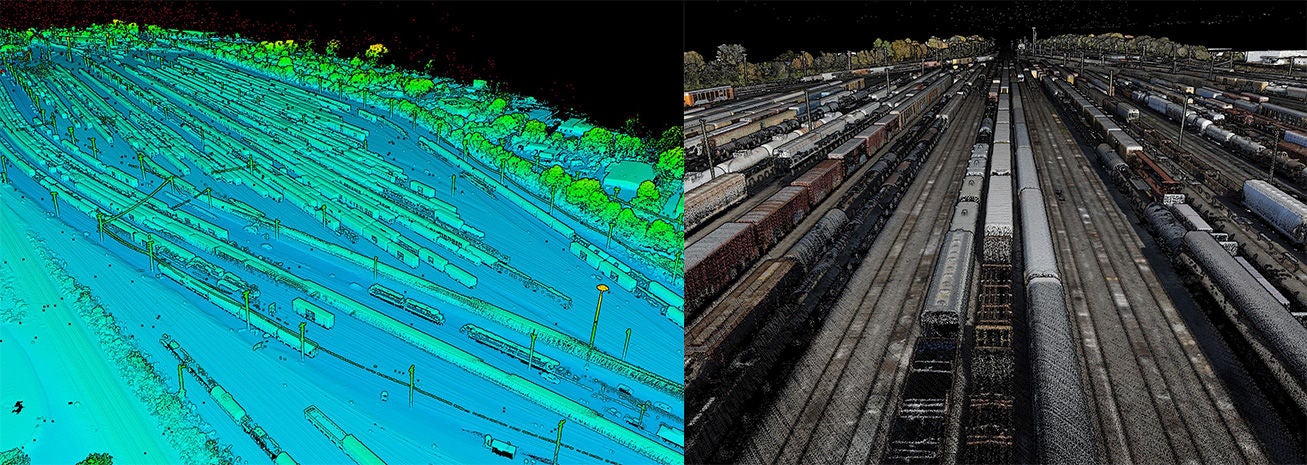
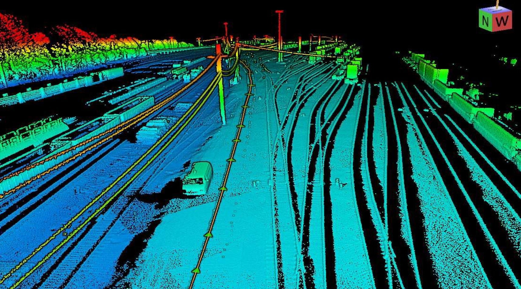
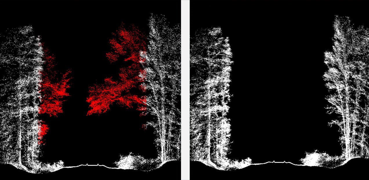
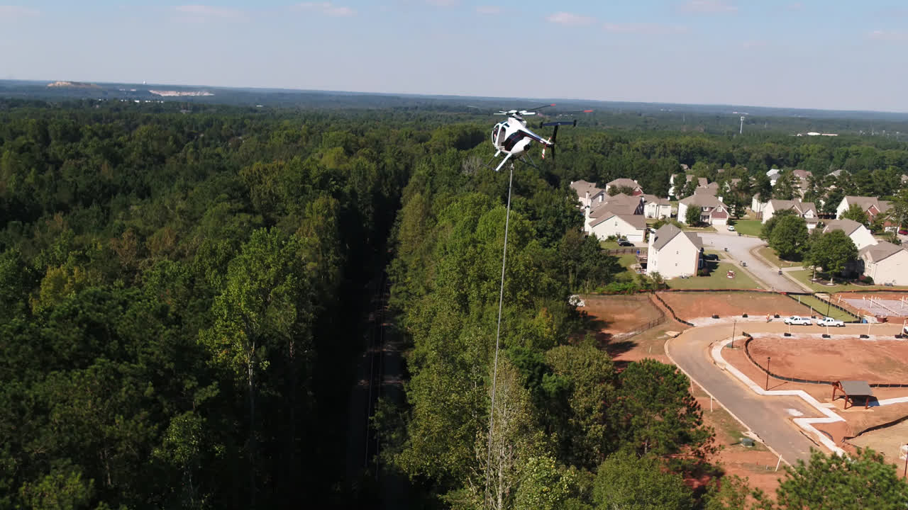
Capturing LiDAR data is only the beginning of the process. Once information is collected in the field, the NS Data Acquisition & Mapping team works together to transform millions of individual data points into practical tools and insights that support engineering projects across the network.
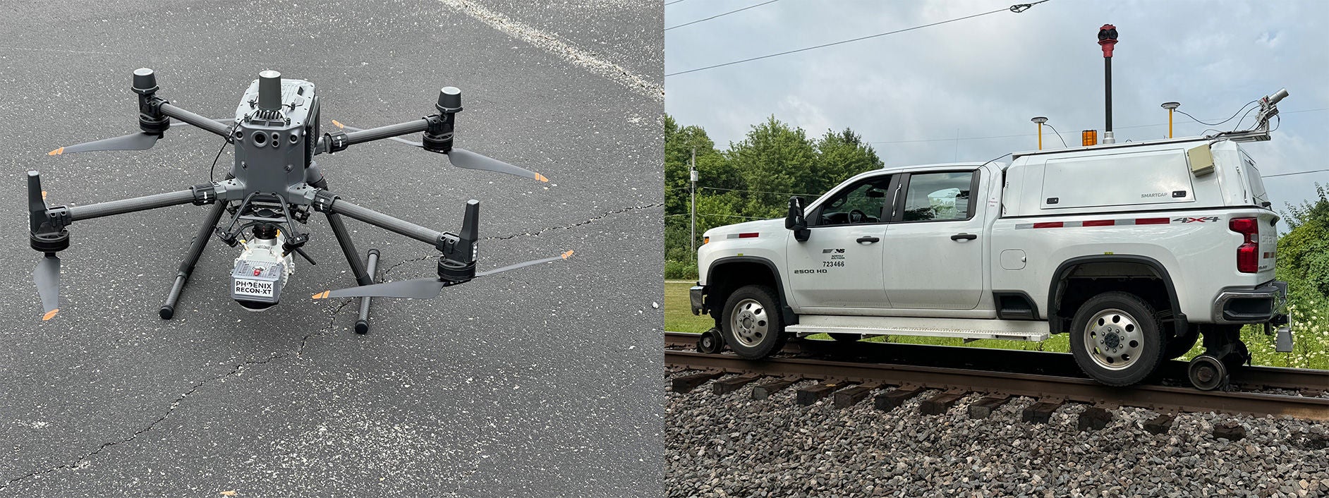
Some team members focus on field data collection through drones, LiDAR platforms, and mapping technologies, while others help turn those datasets into detailed products employees use every day. Engineers specializing in Geographic Information Systems (GIS) play key roles in processing point cloud data, creating cross-sections, developing engineering deliverables, and converting raw information into actionable insights that support planning, analysis, and decision-making.
“LiDAR helps us see the railroad in ways that weren’t possible before, but the technology itself is only part of the story. The real value comes from the expertise of our railroaders, engineers, data scientists, and technology teams who turn that information into actionable insights that support safer operations, better planning, and smarter decision-making across our network.” — Mabby Amouie, NS Assistant Vice President of Enterprise Data & Analytics
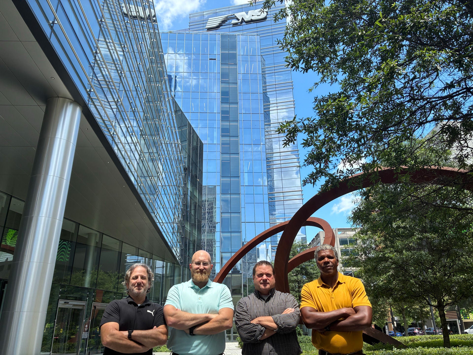
Program leadership helps guide that work and ensures projects align with business needs across the railroad. Together, the team’s combination of field collection, data and technical analysis, and engineering expertise allows NS to maximize the value of LiDAR technology. As a result, employees across the network can access accurate information, make informed decisions, and execute projects safely and efficiently.
By Kasandra Jenkins, Communications Manager
Kasandra Jenkins assists with external communications for Norfolk Southern as a Communications Manager, focusing on community impact, awards, and media relations. Kasandra joined NS in 2025, with more than 10 years of media relations, and corporate/crisis communications experience.